From the field
Recent snapshots.
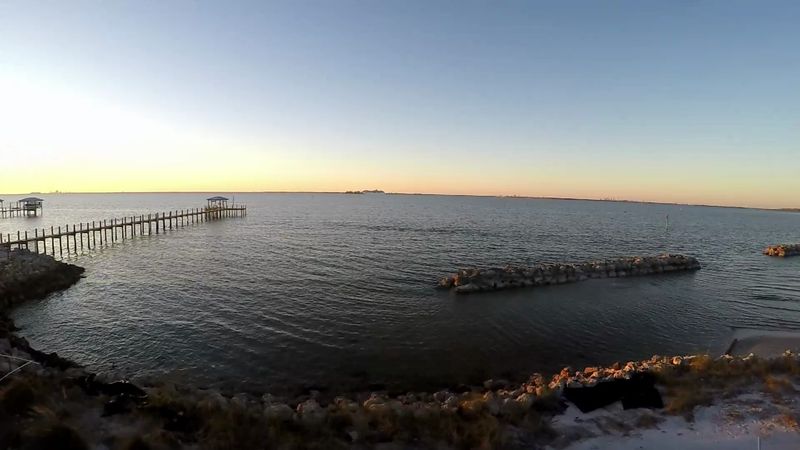
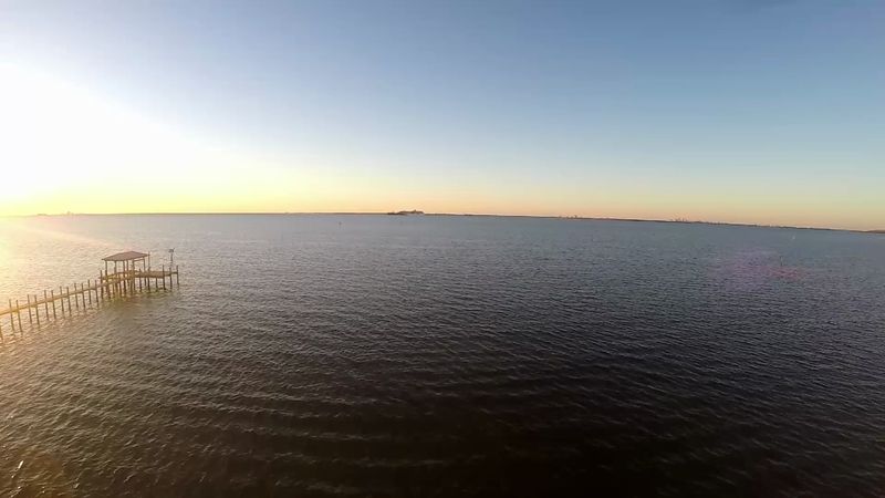
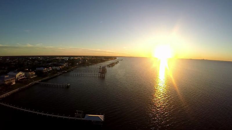
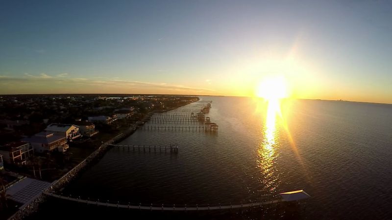
A sample from recent roof inspections and coastline flights around Apollo Beach. The same eye and standards go into every inspection deliverable.
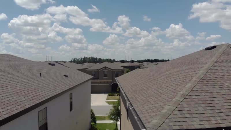
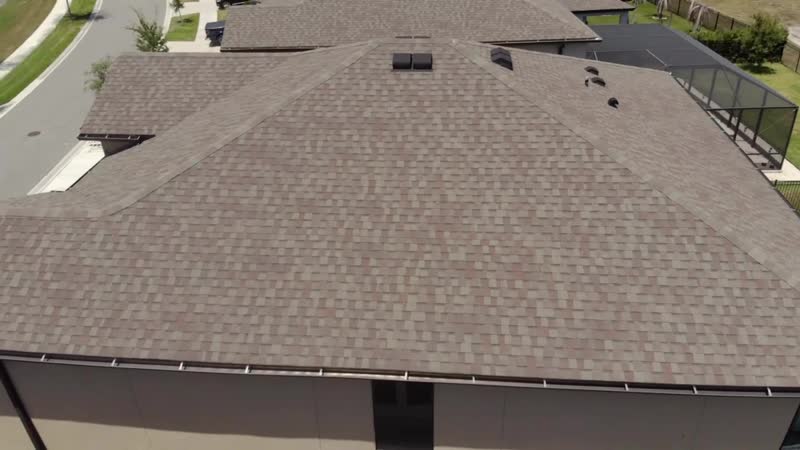
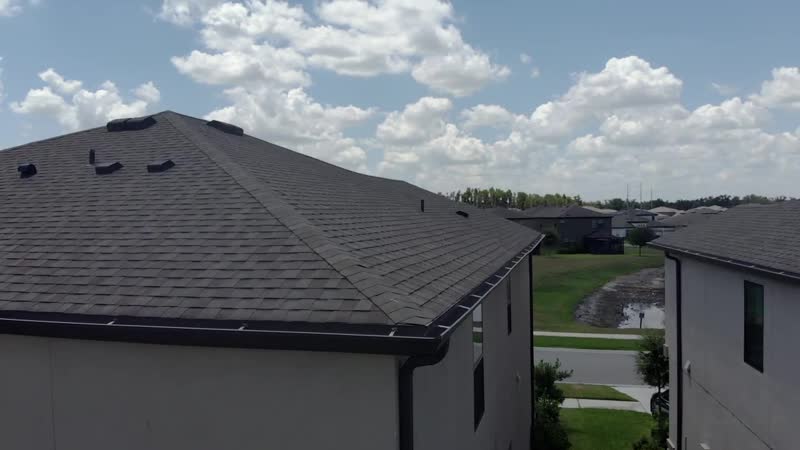
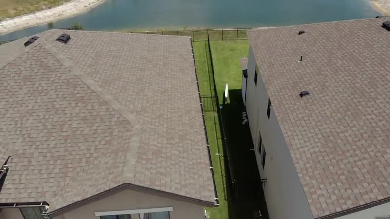
Roof, construction, solar, mapping, and storm documentation across Tampa Bay. No ladders, no liability, no guesswork, just clear, annotated deliverables.
High-resolution roof condition imagery and measurements for roofers, property managers, and insurance documentation, no ladders or liability.
Recurring site flyovers and progress maps that keep owners, GCs, and stakeholders aligned without another site visit.
Pre-install site assessment and post-install inspection imagery, with thermal scanning available, for solar installers scaling across the region.
Stitched visual site maps and orthomosaics for planning, progress tracking, and dated as-built records. Visual accuracy, not a survey product.
Rapid, dated aerial documentation after a hurricane or severe weather, ready for insurers, adjusters, and restoration crews.
On-call situational awareness and area surveys that help responders and property owners assess and prioritize, fast and safely.
Sharp aerial photo and video for listings, venues, and developments when you need the whole property to look its best.
No drawn-out process. Tell us the site, we fly it, you get a report you can act on.
Send the address and what you need documented. We confirm scope, timing, and airspace.
A licensed, insured pilot captures the site safely and to standard, usually within days, faster after a storm.
A clean, annotated deliverable with imagery, measurements, and notes, ready to share or file.
A sample from recent roof inspections and coastline flights around Apollo Beach. The same eye and standards go into every inspection deliverable.